-
 Français
-
 English
Fort-de-France Drone Photography & Video - 90 images
Fort-de-France aerial & drone stock footage collection
Sign up now and receive a 10% off coupon for your first order !
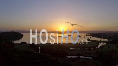
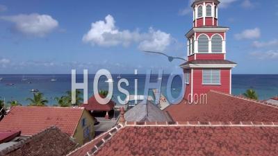
We gather in this gallery the most beautiful drone & helicopter footage, aerial photography and timelapses or hyperlapses shot over or in Fort-de-France.
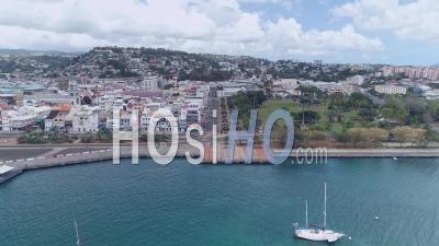
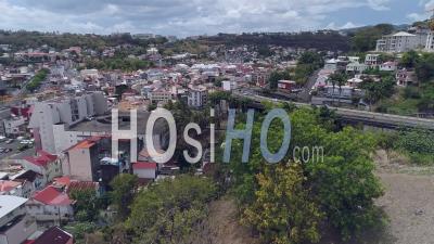
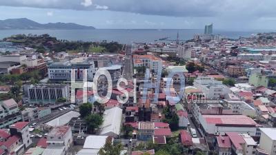
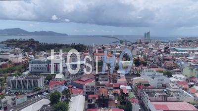
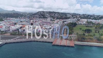
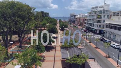
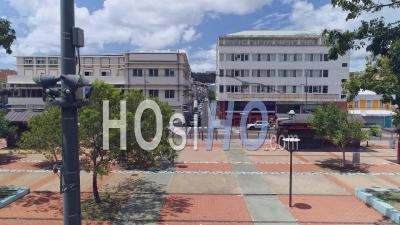
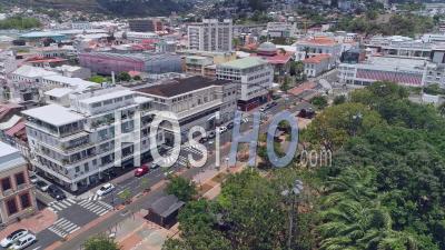
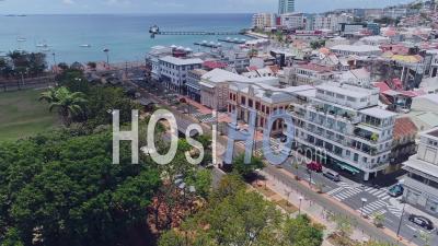
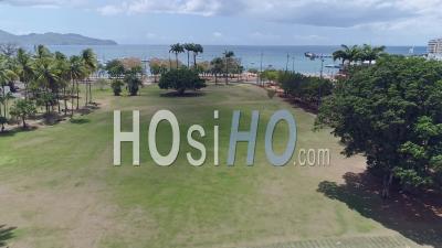
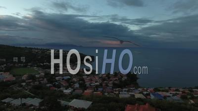
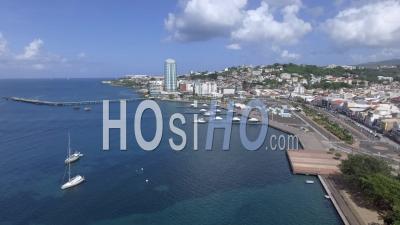
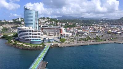
Fort-de-France, capital of Martinique in the French West Indies, is a small town located in the middle of a Caribbean island and the economic lung of the island.
Located on the western part of the island of Martinique, the city of Fort-de-France offers a magnificent view of the Caribbean Sea. It is the capital of the department and also the arrival point of all those who arrive on the island.
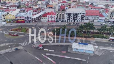
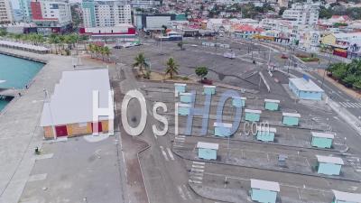
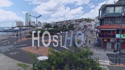
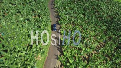
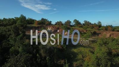
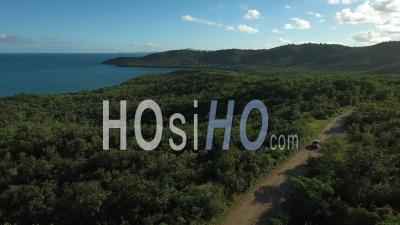
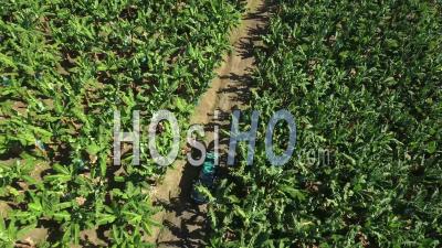
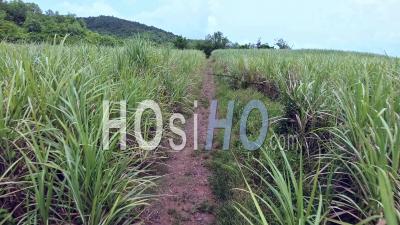
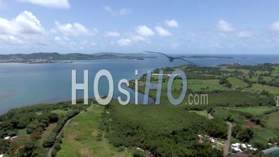
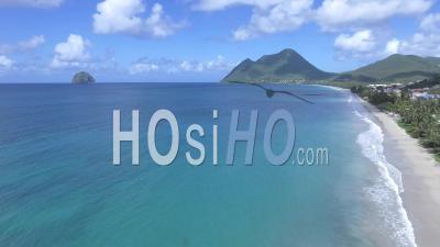
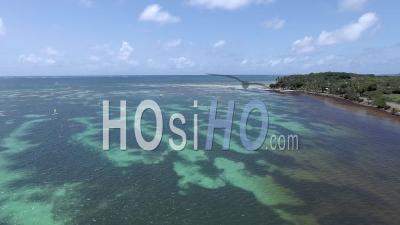
The city of Fort-de-France was named so because in the 17th century, there was a Royal Fort at this location. It is Fort Saint-Louis that can still be admired today. Positioned in the bay of Cul-de-Sac-Royal, the fort protected the French Navy ships anchored there. In the past, it was a military defence post against the English and Dutch armies. The town gradually developed around the fort and extended over the entire bay. It is the witness of the military history of France of which the fortified architecture of the famous architect Vauban remains. Today, Fort-de-France has become the economic and cultural center of Martinique. In 2017, there were 80,000 inhabitants there, but if we count the population of the bordering towns like Le Lamentin, there are then more than 165,000 inhabitants.Fort-de-France seen from the sky reveals a quiet city bordered by heavenly beaches and small ports such as Grande Anse and Bellefontaine or Le Robert, between hills, banana and sugar cane plantations.
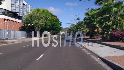
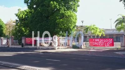
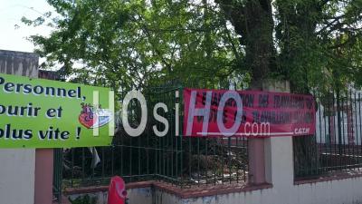
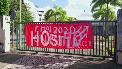
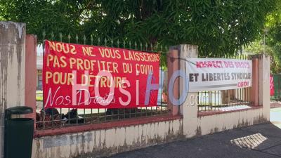
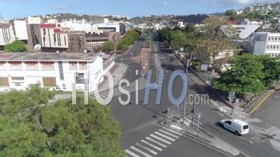
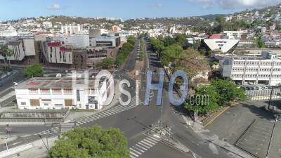
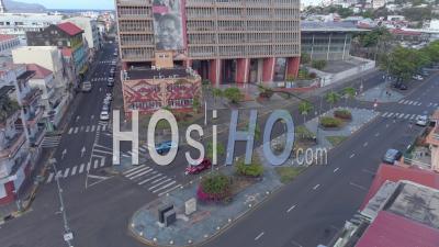
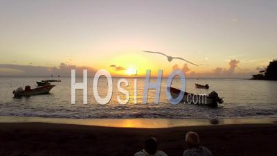
Fort-de-France and Martinique by drone it is also aerial views during the lockdown with empty beaches like Le Diamant or deserted streets in town.
-
 4k
4k -
 4k
4k -
 4k
4k -
 4k
4k -
 4k
4k -
 4k
4k -
 4k
4k -
 4k
4k -
 4k
4k -
 HD
HD -
 HD
HD -
 HD
HD -
 HD
HD -
 HD
HD -
 HD
HD -
 HD
HD -
 HD
HD -
 HD
HD -
 HD
HD -
 HD
HD -
 HD
HD -
 HD
HD -
 4k
4k -
 4k
4k -
 4k
4k -
 4k
4k -
 4k
4k -
 4k
4k -
 HD
HD -
 HD
HD -
 HD
HD -
 HD
HD -
 HD
HD -
 HD
HD -
 HD
HD -
 HD
HD