-
 Français
-
 English
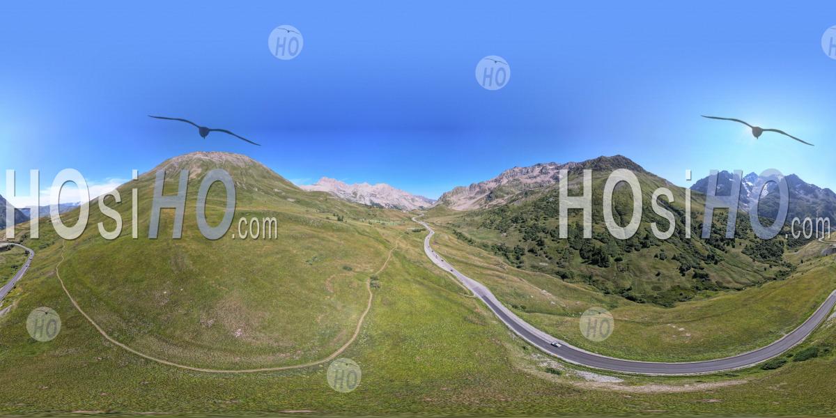
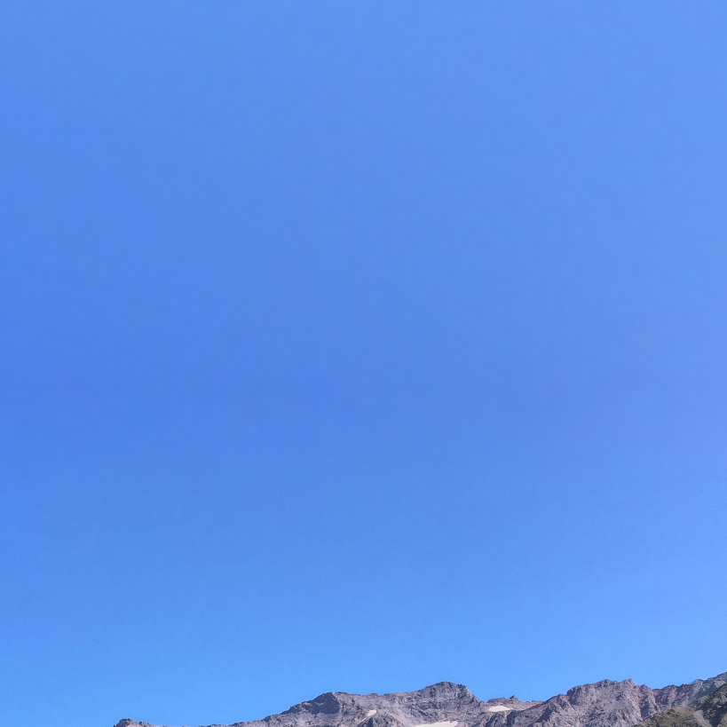
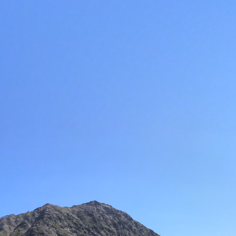
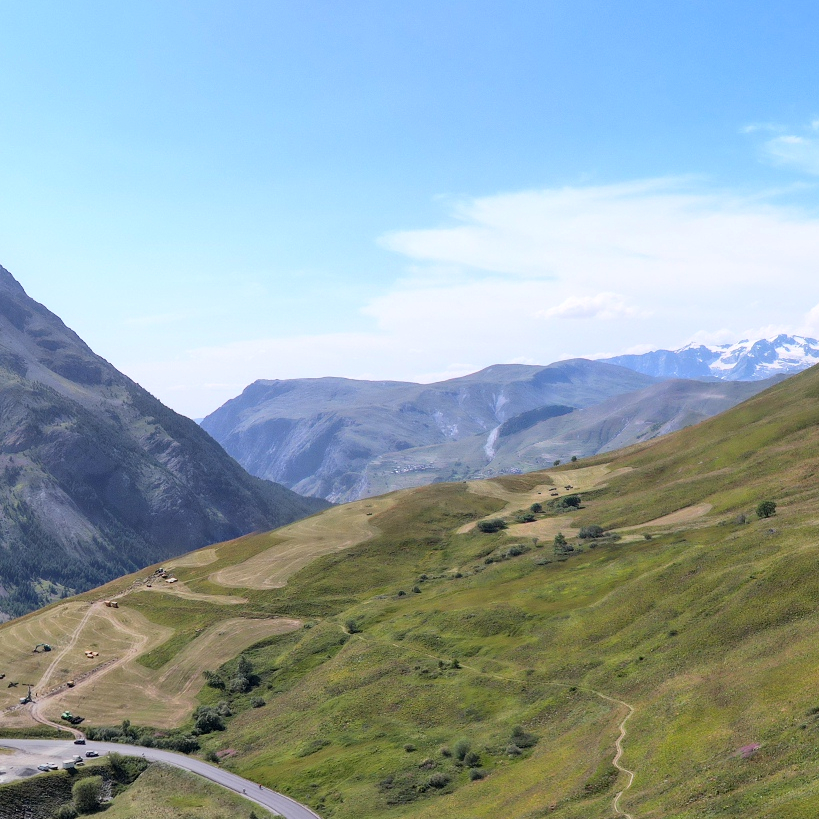
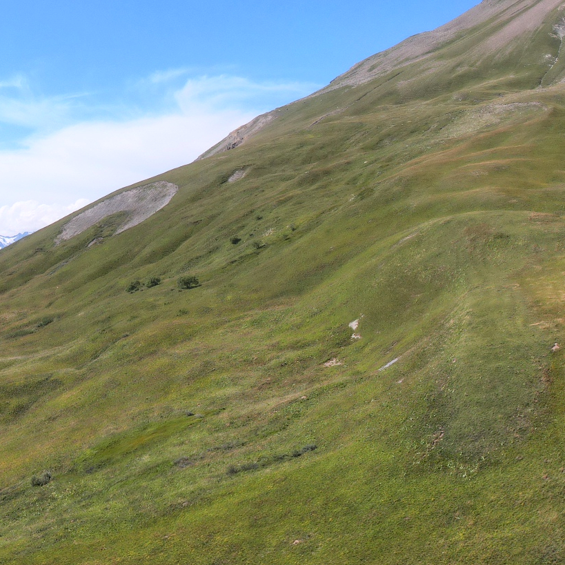
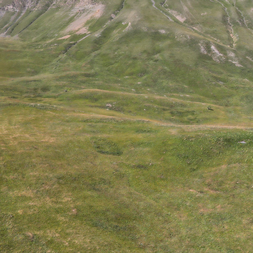
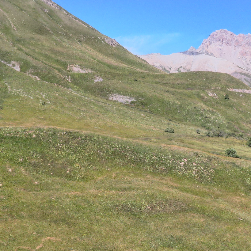
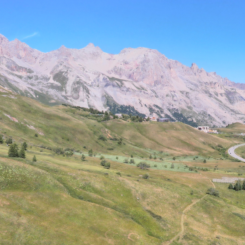
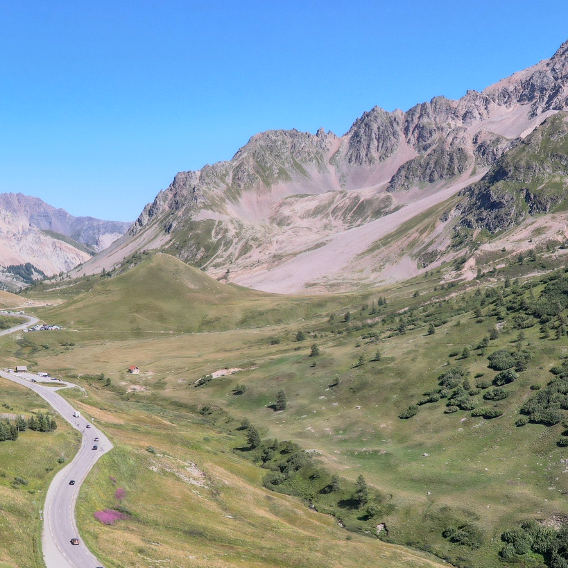
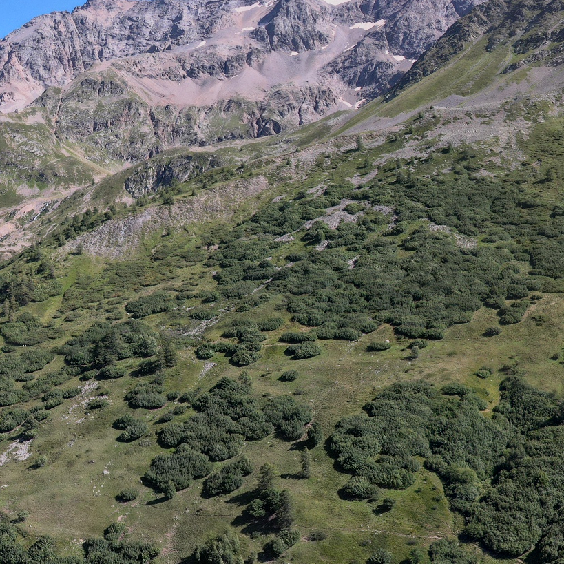
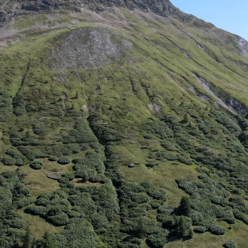
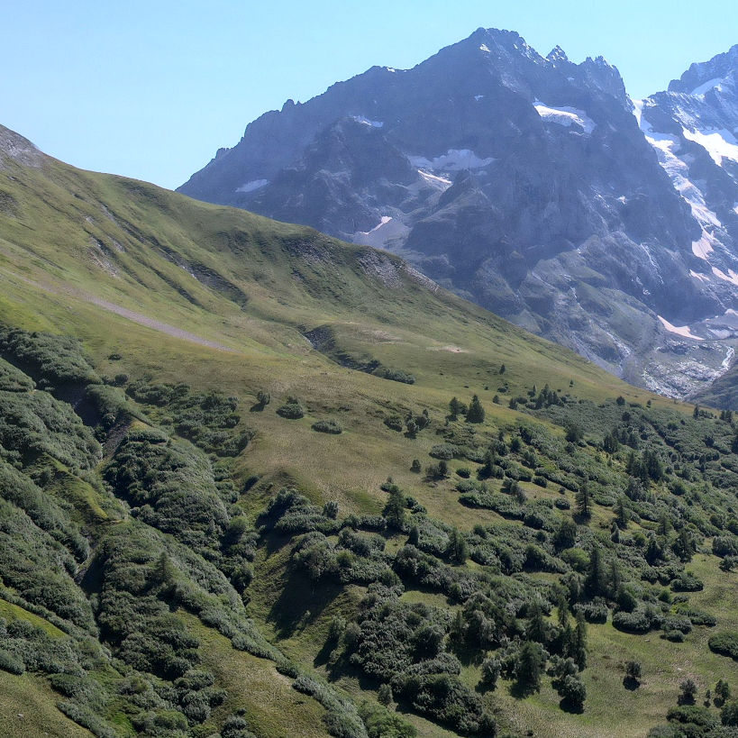
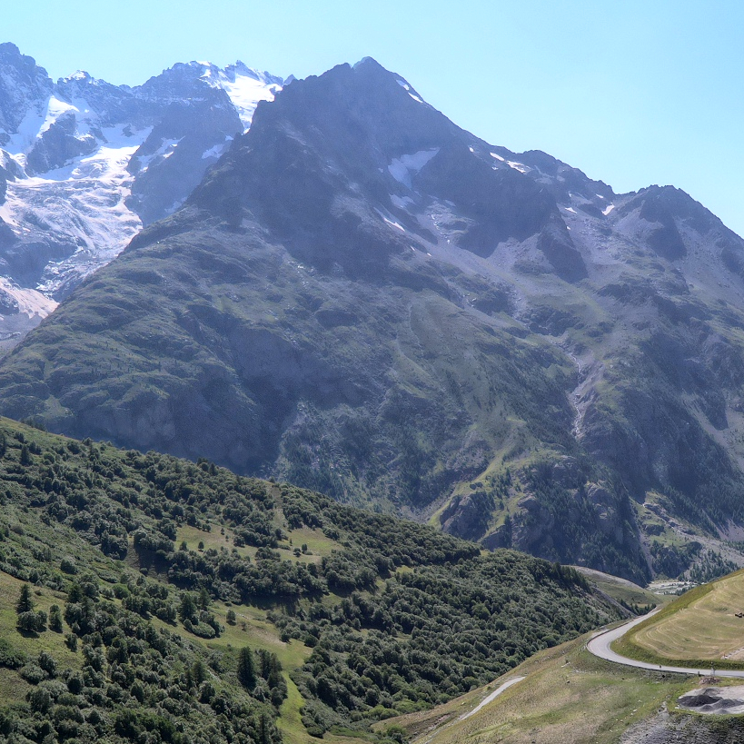
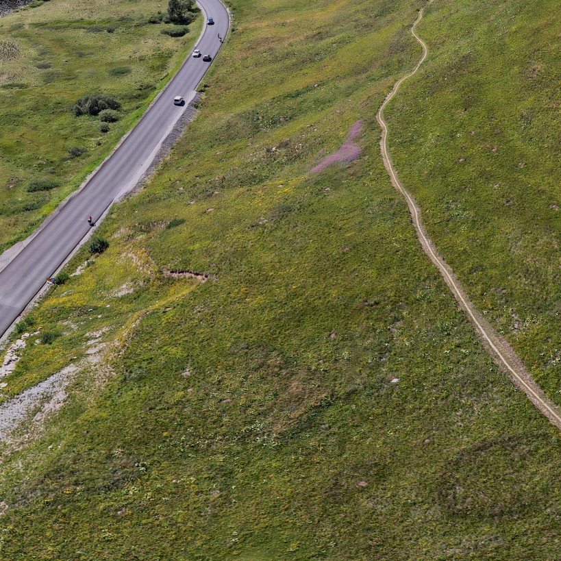
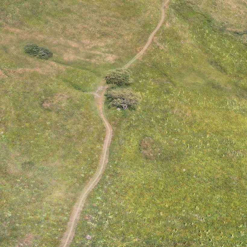
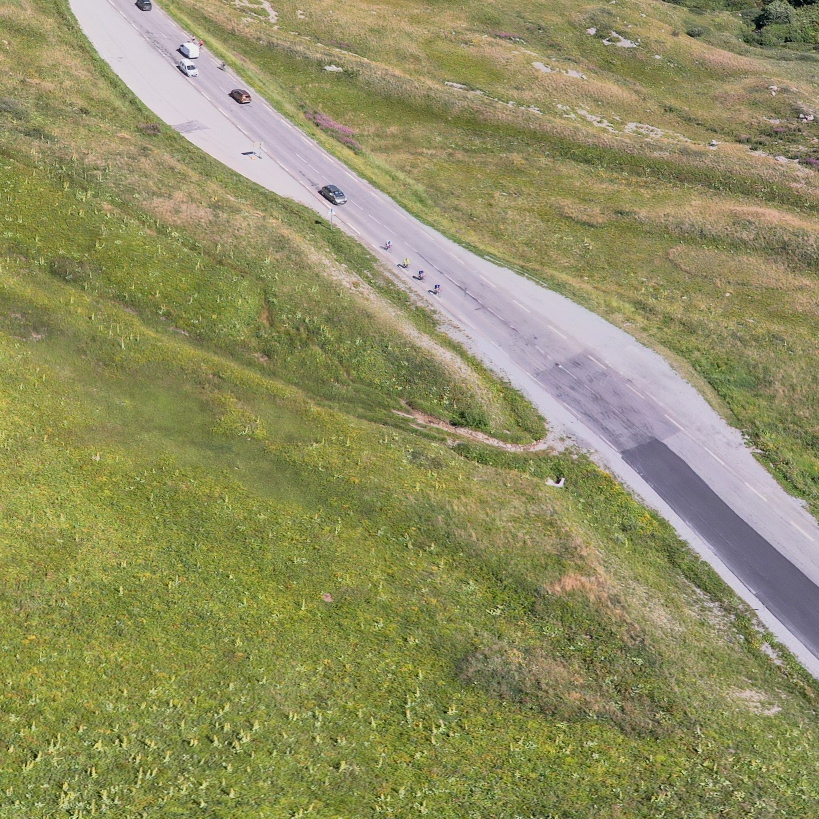
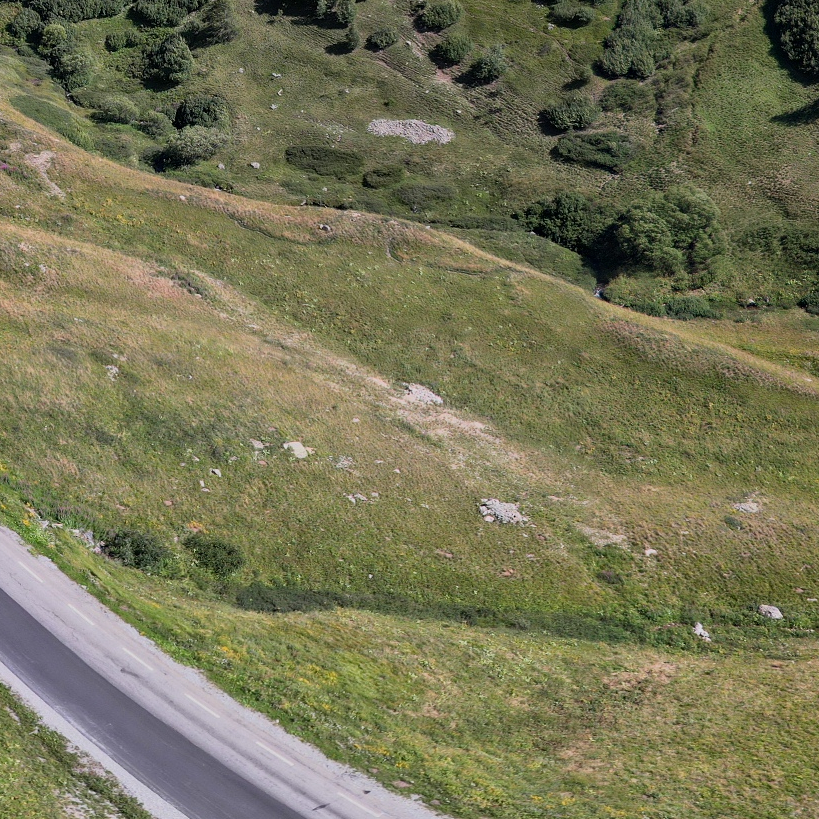
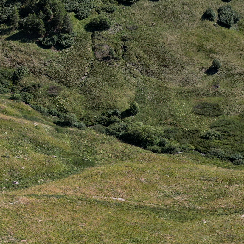
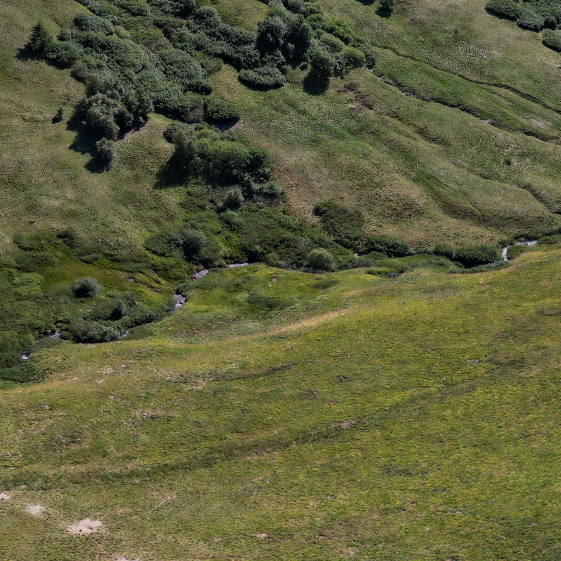
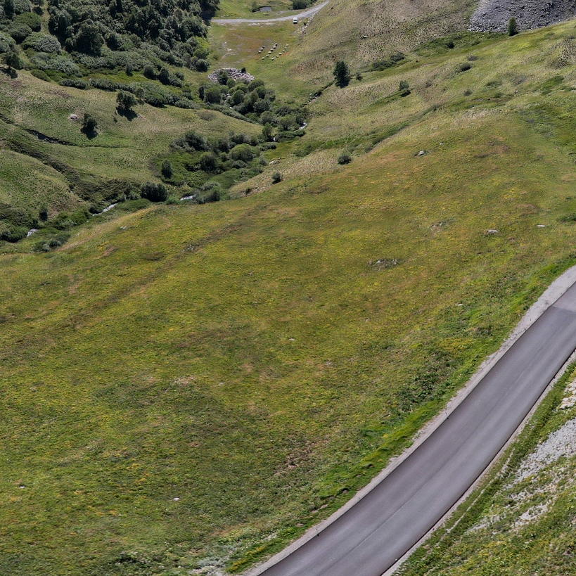
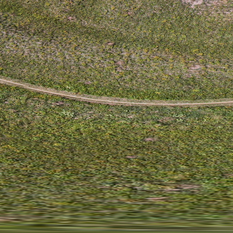
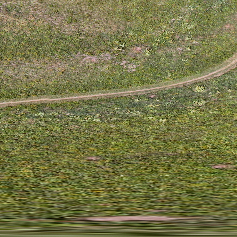
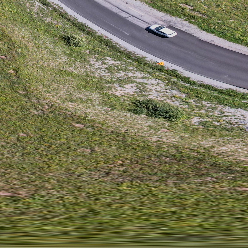
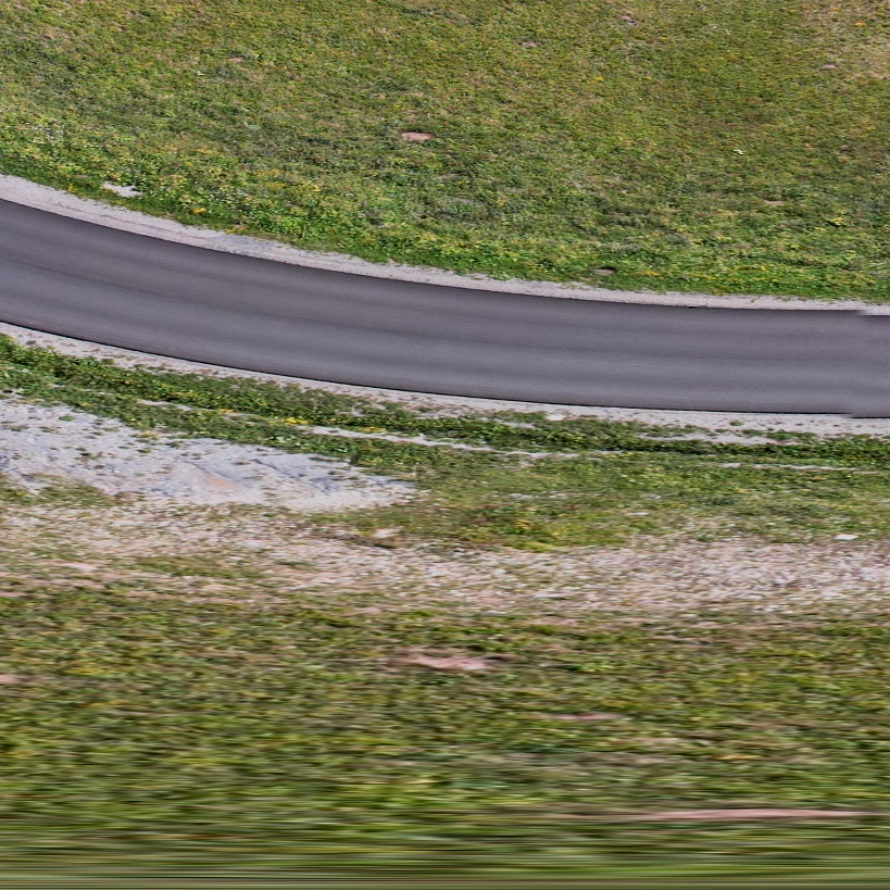
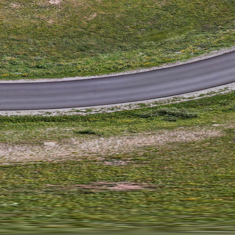
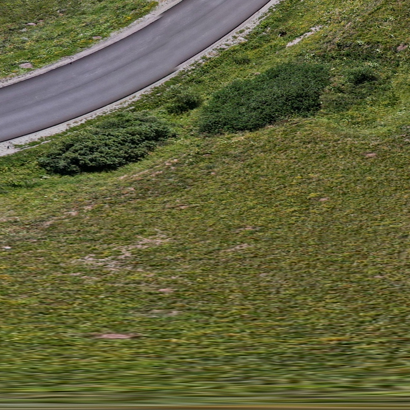
360 Vr, The Col Du Lautaret Between The Meije And Grand Galibier Mountain Ranges, Hautes-Alpes, France, Aerial Equirectangular Photo By Drone
Aerial Vr 360 Of The Col Du Lautaret Between The Meije And Grand Galibier Mountain Ranges, Hautes-Alpes, France, Aerial Equirectangular Photo By Drone, Villar-D'arêne,
Image License Price List
This image is available for Commercial use. For a video purchase, please choose a resolution to see the prices :
Select a primary use, and an option if available :
Image specifications
- Media ID : 2062275
- License : Commercial
- Copyright : © Michel Toupet/Hosiho
- Date Created : 08-09-2021
- Location : Villar-D'arêne, Hautes-Alpes, France
- Model Release : No
- Property Release : No
- Photo size 33,6 Mpx
-
Size :
8192x4096 px
(113,8x56,9 in / 289,0x144,5 cm @ 72 ppi) - File size : 15.5 Mo